International Partnership with SkyTEM
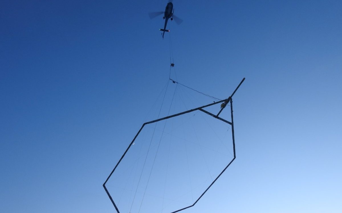
Denmark-based SkyTEM Surveys ApS, leader in Airborne Electromagnetic (AEM) surveys, has partnered with DEVBRIO to offer high resolution mapping in North America.
ARID CONDITIONS
DEVBRIO operates SkyTEM surveys using the SkyTEM304 TDEM system to map groundwater resources.
Shown in this picture is a takeoff during a project in Yuma, AZ.
REMOTE LOCATIONS
The DEVBRIO team has conquered the harshest winter conditions in mining exploration projects.
Here is a photo of a crew member patiently waiting for the helicopter to come back in Nunavut.
PUZZLING LOGISTICS
Some projects require precise logistics planning and organization in order to carry out field operations smoothly.
Shown in this picture is an AS350 B3e helicopter, widely used in AEM surveys.
STEEP TERRAIN
DEVBRIO operates SkyTEM systems in mountainous terrain – requiring careful flight planning and performance evaluation.
Shown here is SkyTEM’s first generation system over the Great Sand Dunes Park in Colorado.
Being an international company, SkyTEM has tasked the DEVBRIO team with taking care of all their North American endeavors, including project management, field operations, equipment refurbishing and storage. Over the years we have built a solid relationship and partnership with SkyTEM, it has allowed us to evolve as a company and create new connections in the geophysical world.

